
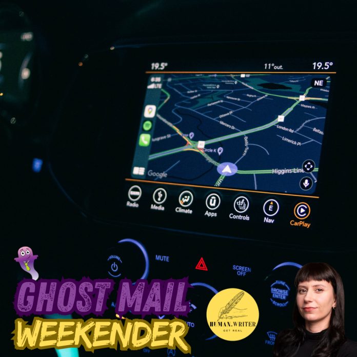
Sometimes the people in charge make a free product worse on purpose. History suggests that approach rarely lasts.
Sometime this week, my husband asked me if I thought the AI model that I was using had gotten dumber. My first instinct was to say no – but then I really thought about it for a minute. I did have to correct it on a few dodgy sources recently. And it had struggled to confirm a basic detail that I found myself after a simple Google search.
AI isn’t perfect, and these mistakes happen from time to time, as we all know. But his question stuck in my mind, especially as Anthropic publicly filed its Form S-1 registration statement on the 26th of October. With the company preparing to go public, there would be increased pressure to improve profit margins. And how does a freemium service make a profit? By converting users off of the free tier and onto paid. Easier to accomplish when the free tier suddenly starts feeling buggy compared to paid alternatives.
This is all conspiracy of course, fuelled by nothing more than an observation and some coincidental timing. If Anthropic really is throttling its free tier, there’s certainly nothing you or I can do to prove it – or change it, if it were true. We are the users, and our experience is determined by the makers. It’s just interesting that the incentive to convert more users to paid has become stronger as Anthropic heads to the public market.
It did remind me of a historical parallel, though; one that involves satellites, the military, and the way we understand our place in the world (in the most literal sense possible).
The satellites that lied
In 1973, a small group of US military officers met at the Pentagon over a long weekend and sketched out a system that would let anyone, anywhere on Earth, work out exactly where they were. This was the foundation of the Global Positioning System (or GPS) as we know it today.

A network of satellites, each carrying an extremely precise atomic clock, would constantly broadcast the time and their position in orbit. A receiver device on the ground would listen to several satellites at once, measure how long each signal took to arrive, and calculate its own location. Simple, yes, but unforgiving: a timing error of one millionth of a second puts you about 300 metres off. That’s why atomic clocks, which use the unchanging vibrational frequency of atoms to measure time as accurately as possible, were crucial to the process.
From the start, GPS sent out two signals – an ultra-precise one for the US military, and a coarser, less accurate one that anyone could use. The trouble was that even the coarse one turned out to be a little too good. In early tests, it could pinpoint a location to within a few dozen metres. That was more than accurate enough to steer a missile or bomb onto a specific building, airfield or ship.
In the middle of the Cold War, military planners didn’t love the idea that an enemy could aim weapons at American targets using America’s own satellites.
So they built in a handicap, and gave it the politest possible name: Selective Availability. The satellites would add small, constantly shifting errors to the public signal by nudging the clock times and fudging the orbit data. US Military receivers could strip the errors out. Everyone else – foreign military and civilians alike – got a blurrier picture of the world, accurate to about 100 metres. That’s enough to find a town, but not enough to tell which side of the road you’re on.
Stand still, and your positioning dot would wander around the screen as if it had misplaced its keys.
The handicap and the workaround
When the Gulf War began in 1990, the US military found it didn’t have enough military-grade receivers to go round. Caught short, it had no choice but to buy thousands of commercial ones. There’s a charming and oft-repeated anecdote about soldiers’ families buying and posting handheld units to them so they wouldn’t get lost in the desert.
But then there was a problem. Soldiers using commercial-grade receivers could only read the degraded signal, so the military had to switch Selective Availability off to help its own troops. At its first real test, the handicap had hobbled the very people it was meant to help. The change didn’t stick though – in 1991, Selective Availability was turned back on. The public whiplashed from near-military-grade accuracy back to the wandering dot in less than a year.
And once the public knows that their access is being limited, they aren’t exactly content to leave it be. It wasn’t long before engineers (many of them working for organisations that needed real precision, like the US Coast Guard) found a Selective Availability workaround.
The trick was a bit like checking your kitchen scale against a bag of sugar. If a 1kg bag of sugar reads 1.2kg when you weigh it, you know the scale is out by 200 grams, and you can correct everything else you weigh. Engineers did the same with GPS: put a receiver on a spot that you know the exact location of, measure how far off the signal is, and broadcast that correction to everyone nearby. Through the 1990s, this ‘differential GPS’ spread across shipping and aviation. Anyone sophisticated enough – presumably including a well-organised enemy – could sidestep the handicap.
Meanwhile, GPS had become an industry. Surveyors, farmers, shipping companies and the makers of early car navigation systems all wanted accuracy, and expert reviews in the mid-1990s concluded that Selective Availability was holding back a booming market more than it was keeping anyone safe. Other countries, wary of relying on a system the US military could degrade at will, had alternatives in the works – Russia had GLONASS, and Europe was planning what would become Galileo.
In 1996, President Clinton committed to ending Selective Availability within a decade. It only took four years. On the 1st of May 2000, he announced that the satellites would stop lying at midnight, and overnight, every ordinary GPS receiver on the planet became roughly ten times more accurate.
Two days later, a man in Oregon hid a container in the woods and posted its coordinates online to see if anyone could find it. Somebody did, and geocaching was born. Affordable car sat-navs followed, and eventually, the little blue dot on every smartphone.
Clearing the fog
I’m not suggesting an AI company tweaking its free tier is the same as the US military fogging up a global navigation system. One was a Cold War security measure. The other, if it’s happening at all, would presumably be a pricing strategy.
Selective Availability wasn’t scrapped because users complained (although they did complain at length). It was scrapped because it stopped making sense. Workarounds made it pointless, competitors made it risky, and the cost of keeping the world in a fog eventually outweighed the benefit to the people holding the key.
So, has my AI gotten dumber? I still can’t say for sure. But I’ve stopped feeling quite so powerless about it. The makers may decide what we get, but they don’t get to decide whether we stay – and if history is any guide, a deliberate fog tends to lift the moment it costs more to keep it than to clear it.
About the author: Dominique Olivier


Dominique Olivier uses her love of storytelling and ideation to help brands solve problems.
Her first book, Lessons from Loss, has been published by Penguin Random House.
She is a weekly columnist in Ghost Mail and collaborates with The Finance Ghost on Ghost Mail Weekender, a Sunday publication designed to help you be more interesting.
You can learn more about her work at dominiqueolivier.com and she can be reached on LinkedIn here.